In this article6 sections
Langley is one of the most varied markets in Metro Vancouver. Within a short drive you can go from a new townhome complex in Willoughby to a hobby farm in the Salmon River Uplands, a view lot in Walnut Grove, or a character property near Fort Langley. Because the housing stock is so different, so is the answer to the question we hear from agents: is a drone worth adding to this listing? Here is how we think about it.
Where aerials earn their place in Langley
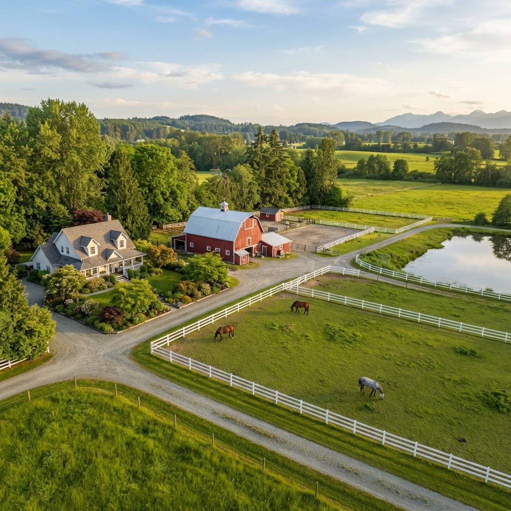
Acreage, farms and hobby farms
In the rural parts of the Township, buyers are purchasing land, fencing, outbuildings and access, not just a house. From the ground, it is hard to show how a barn, paddock, shop and house relate to each other, or how far the home sits from the road. One well-framed aerial often explains the whole property. We cover this angle for rural listings in more depth in our look at 3D tours for Langley acreage, and the two services work well together.
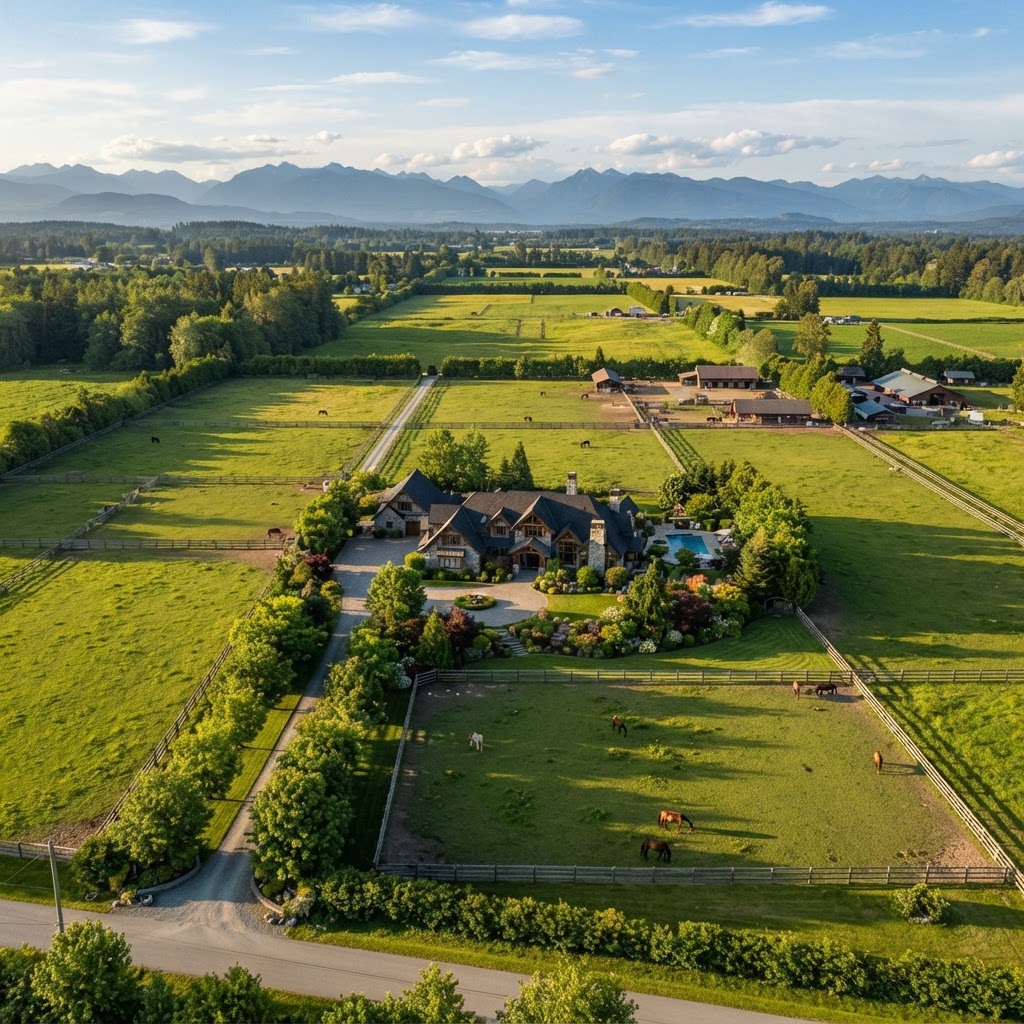
Larger estate lots in Walnut Grove and Brookswood
Some of the larger lots in established neighbourhoods have mature landscaping, pools, sport courts or detached shops that look scattered in a ground gallery. From above, they read as a connected property, and buyers comparing several larger lots can see the differences quickly.
Homes that back onto greenspace or farmland
Langley has a lot of parkland, creek corridors and agricultural land. A home that backs onto a greenbelt or a field has a lifestyle advantage, and an aerial shows what the backyard actually borders in a way fence-level photos cannot. We always aim to show the setting honestly rather than exaggerate it.
View and slope properties
A few pockets of Langley sit high enough to have views across the valley. Raising the camera to roof height or slightly above can show what a buyer would actually see from the property. The image should support the listing, not oversell it.
Where a drone adds less
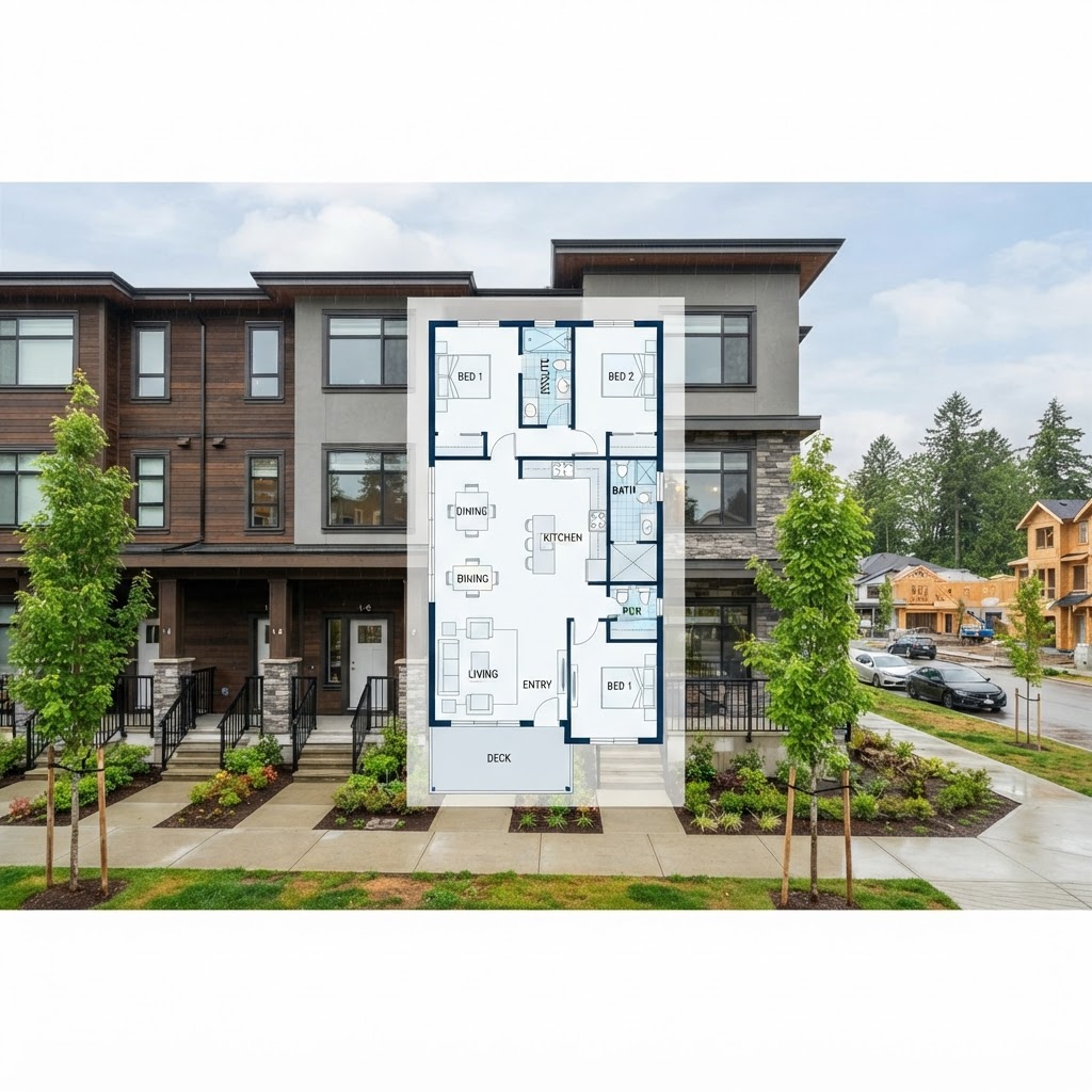
For a typical strata townhome in Willoughby or a condo near the Langley City core, a drone usually adds little. The buyer is not purchasing a roofline or a lot, and the view from above would mostly show neighbouring roofs. In those cases the budget is generally better spent on strong interior photography, a floor plan or a 3D scan. We would rather tell you that up front than sell an add-on that does not move the listing.
Practical things to know before booking
A few considerations apply to any aerial shoot in the area:
- Airspace. Parts of the Township are near the Langley Regional Airport and other aerodromes, and some areas are controlled airspace. Flights there can need authorization, so mention a drone request when you book rather than the morning of the shoot.
- Weather and light. Fog, rain and strong wind can force a reschedule. Aerials look best in clear light, so we usually pair them with the exterior photography visit and adjust the timing if the sky is not cooperating.
- Seasonal foliage. Full summer trees can hide rooflines and lot edges, while late fall and winter can show more structure but less green. Think about which story the property needs.
- Neighbour privacy. A responsible operator frames the shot around the subject property and avoids lingering over neighbouring yards.
- Tidy first. Aerials expose everything, including parked vehicles, trailers, tarps and unmown grass, so a quick tidy before the shoot goes a long way.
Photo or video?
Still aerials are usually enough for a conventional home. For a larger farm or an estate with a lot to show, a short flyover clip gives buyers a better sense of scale and approach. Our drone photo and video service covers both, and we are happy to recommend which one suits the property in front of us.
Pairing aerials with the rest of the shoot
The strongest rural and large-lot listings tell one consistent story. The aerial shows the land and layout, ground-level exterior photos show the home's presence, interior photos show finishes and light, and a floor plan helps buyers understand how the rooms connect. When the pieces are planned together, they save the agent from answering the same basic questions again and again.
Bottom line
In Langley, drone photography earns its place when the value of the property is in the land, the lot or the setting around it. For compact urban homes and strata townhomes, ground-level work is usually the smarter spend. If you are not sure which camp your listing falls into, send us the address and we will give you a straight answer. You can see the full range of what we shoot on our Langley real estate photography page, or book your shoot here.

Written by
RealtyShot
Real estate photography, 3D tours, drone and video for agents across Metro Vancouver. Based in North Vancouver and shooting from Vancouver to the Fraser Valley for 5+ years.
Book with RealtyShot
Ready to book your shoot?
Pick a package or individual services, choose a time and get an instant price in the booking portal.
Packages from $299
100% BACKYour winter shoot earns its value back in RealtyShot credit. 604-600-1317