In this article6 sections
Vancouver is a dense, hilly city of narrow lots, laneways, towers and water views, and that changes the drone question. In a suburb with big yards, an aerial often shows off acreage. In the city, the value is usually more subtle: context, orientation, and what surrounds the property. Here is how we think about whether a drone belongs on a Vancouver shoot.
Where aerials earn their place in Vancouver
Westside and Eastside detached homes on larger lots
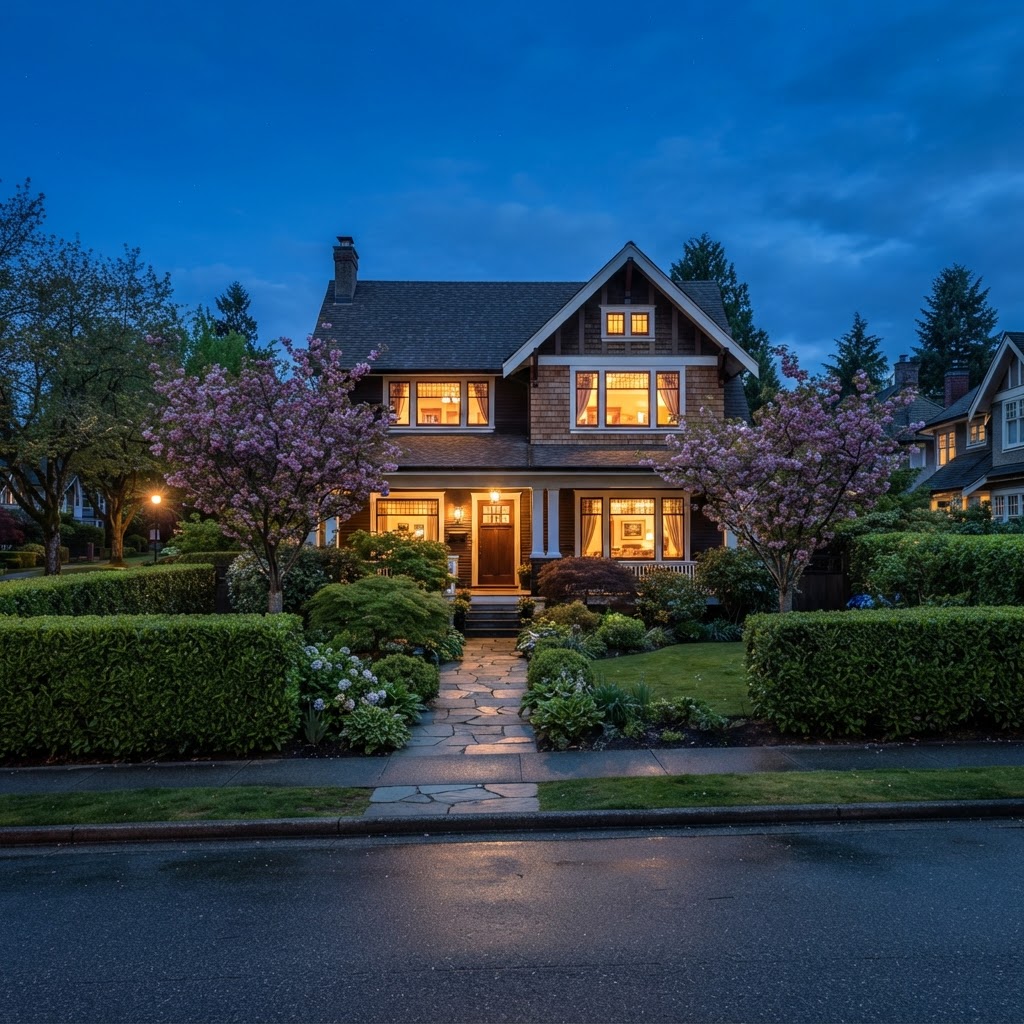
On a generous lot in Dunbar, Kerrisdale, Shaughnessy or Point Grey, a drone shows the full footprint: the house, the garden, the lane access, the garage or coach house, and how much outdoor space buyers actually get. Ground photos tend to show only one slice of the yard at a time. An aerial lets buyers understand the whole property at a glance, which matters when comparing several lots.
Corner lots and homes with lane access
Corner properties and lots with strong laneway access are easy to misread from the street. A view from above makes the layout of the lot clear, including parking, detached structures and the relationship to neighbouring homes. For listings where the lot is part of the selling story, this is often the most useful image in the gallery.
Homes near parks, schools and the water
Vancouver buyers care about what is nearby. When a property backs onto a park, sits close to a school, or is a short walk from the seawall or a beach, an elevated photo can show that setting honestly. We always aim to represent proximity accurately rather than make a property look closer to something than it is.
Upper-floor and view properties
Some homes on the slopes of the city have views toward the North Shore mountains, downtown, or the water. A drone can raise the camera to the height of a roofline or above, showing roughly what a buyer would see from upper floors. For view-driven listings, we pair this with a twilight shoot when the light supports it.
Where a drone adds less
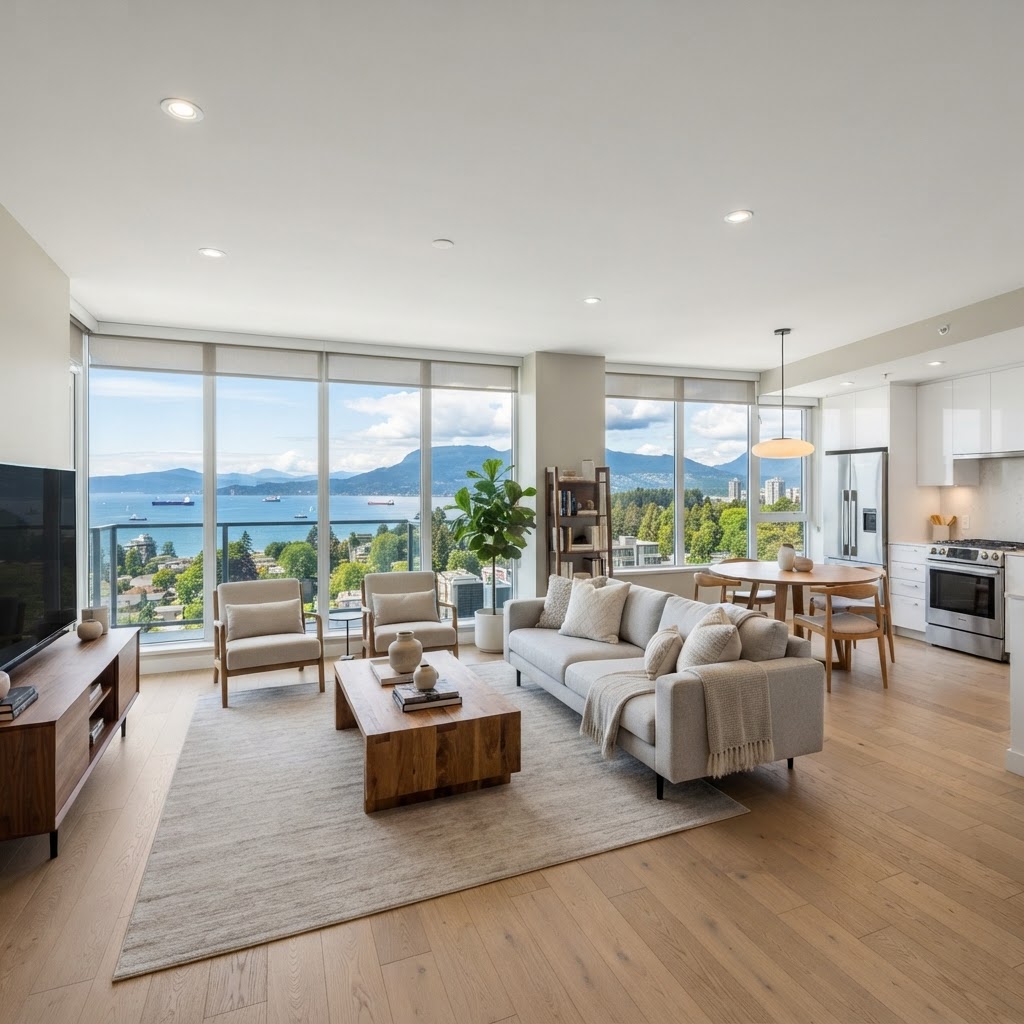
For a downtown or West End condo, a drone usually does not help. The buyer is purchasing an interior and a building amenity package, not a lot, and flying around dense towers is both impractical and often restricted. In those cases the budget is better spent on strong interior photography, a floor plan, or a 3D tour. The same goes for most townhomes and many smaller units where the lot is shared and the roofline is not the story.
Practical things to know before booking in Vancouver
- Airspace. Parts of Vancouver are near the harbour, hospitals with helipads and other controlled airspace, and some areas require authorization before any flight. Mention a drone request when you book rather than the morning of the shoot so it can be checked in advance.
- Weather and light. Wind, rain and low cloud are common, especially in the shoulder seasons. Aerials look best in clear, bright conditions, so we build in flexibility to move the flight if the sky is not cooperating.
- Tree cover. Mature street trees and large hedges can hide rooflines and lot edges in full leaf. Late fall and winter show more structure but less green, so think about which story the property needs.
- Neighbour privacy. On Vancouver's tight lots, framing matters. A responsible operator keeps the shot centred on the subject property and avoids lingering over neighbouring yards and windows.
- Tidy first. Aerials show everything, including bins, parked vehicles, tarps and construction clutter in the lane, so a quick tidy before the visit goes a long way.
Photo or video?
For most Vancouver homes, a small set of still aerials is plenty: one wide view for context, and a couple of angles that show the lot and surroundings. A short flyover clip makes more sense on a larger property, a view home, or a site with an interesting approach. Our drone photo and video service covers both, and we are happy to recommend which one suits the property in front of us.
Pairing aerials with the rest of the shoot
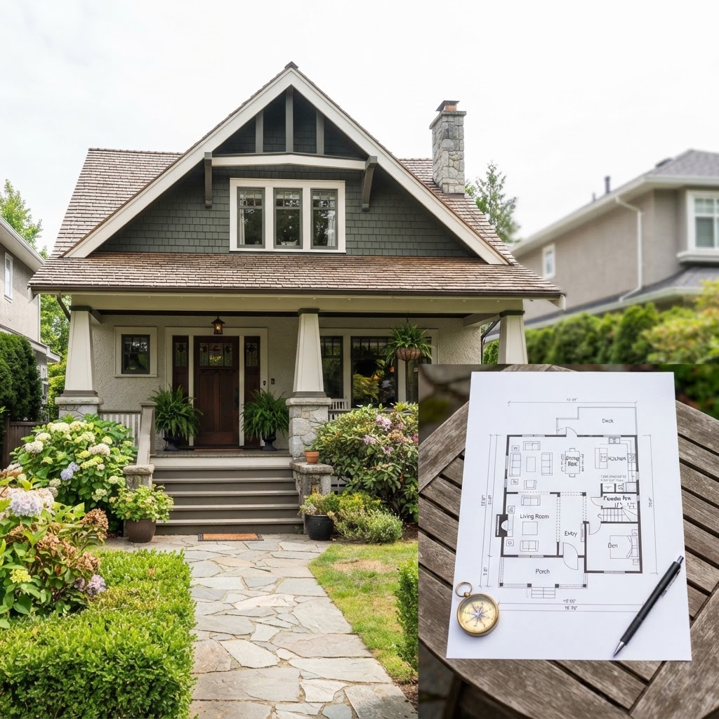
The strongest listings tell one consistent story. The aerial shows the lot and setting, exterior photos show the home's presence, interior photos show light and finishes, and a floor plan helps buyers understand how the rooms connect. This is especially true for older character homes, where the layout and the lot are both part of the value. When the pieces are planned together, they save the agent from answering the same basic questions again and again.
Bottom line
In Vancouver, drone photography earns its place when the value is in the lot, the setting or the view. For condos and compact strata homes, ground-level work is usually the smarter spend. If you are not sure which camp your listing falls into, send us the address and we will give you a straight answer. You can see the full range of what we shoot on our Vancouver real estate photography page, or book your shoot here.

Written by
RealtyShot
Real estate photography, 3D tours, drone and video for agents across Metro Vancouver. Based in North Vancouver and shooting from Vancouver to the Fraser Valley for 5+ years.
Book with RealtyShot
Ready to book your shoot?
Pick a package or individual services, choose a time and get an instant price in the booking portal.
Packages from $299
100% BACKYour winter shoot earns its value back in RealtyShot credit. 604-600-1317